Time flies. Without gloating (much) I have to tell you this winter is by far the most pleasant one I’ve ever spent. As a lifelong inhabitant of the Northern states I have always assumed that those in the South had at least some sympathy for those of us suffering numerous cold-climate severities. I was wrong. Honestly, if they give it any thought at all, it’s because they think we are crazy.
During this beautiful, pleasant winter we have spent the last several months focused on preparing Batu and ourselves for the next step in our voyage, coined the “Pacific Puddle Jump.” With only occasional breaks for fun and exploring the beautiful Costa Alegre, we have remained fairly busy with continual preparations for the upcoming journey. We don’t plan to round any great capes on this leg, but it’s still a pretty serious business as we will be, at times, thousands of miles from nearest land and ultimately plan to cover about 11,000 nautical miles over the next 7 months.
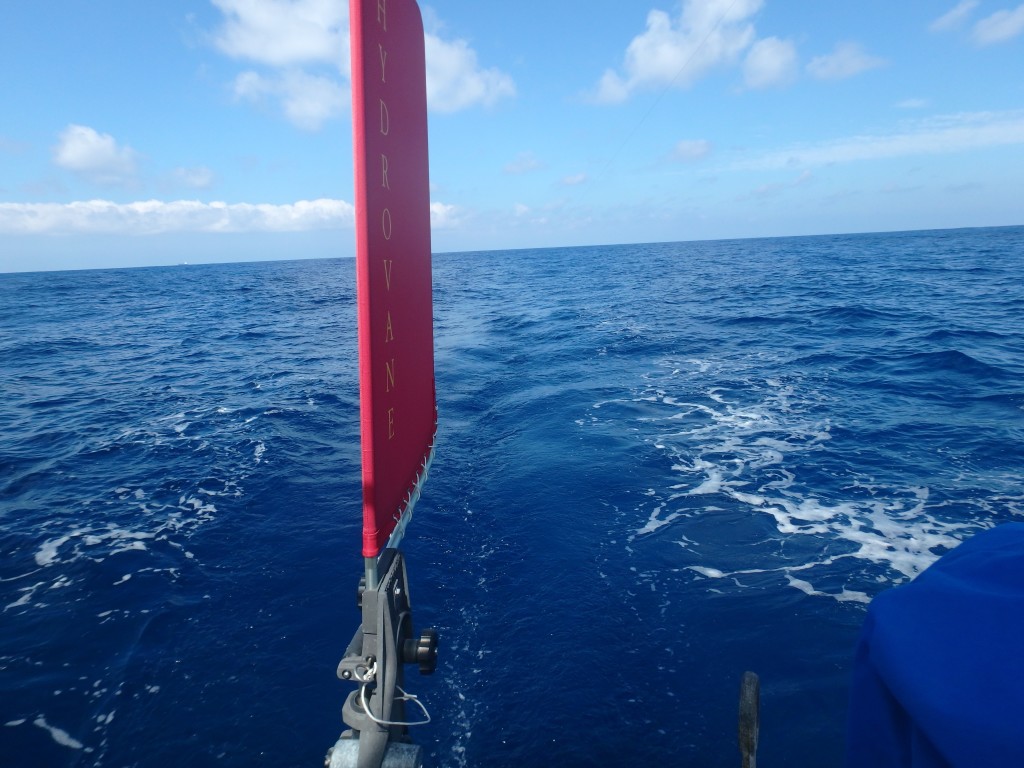
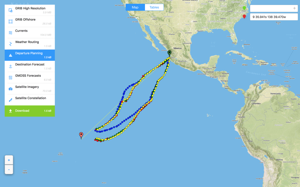
The first step is a trans-Equatorial hop of about 2,700 nautical miles (in a straight line) from Mexico to the Marquesas Islands. We expect the passage to take 25 – 30 days. For those unfamiliar with ocean voyaging, once underway we don’t stop. We work in 4-hour shifts to keep the boat going around the clock until making our destination. Communications are limited to HF radio and a Delorme InReach satellite communications device. With these tools we are capable of sending and receiving weather, voice, satellite text and very limited email using a special address. Food, water, tools and emergency services consist solely of what we carry on board.
We plan to make first landfall on the island of Hiva Oa and spend about a month exploring the Marquesas before the next step, a several-day passage to the Islands of the Tuamotus. This group, in fact, has no “islands” at all, consisting entirely of coral atolls, nothing more than a doughnut ring of sand and coral with tropical lagoon in the center. While incredibly beautiful, the Tuamotus are also somewhat dangerous for navigation, so we plan to spend only a few weeks there before the next passage to Tahiti and the Society Islands where we hope to spend about a month. From there we will head in long hops to the various Cook Islands, Niue, the Islands of Tonga and then a long passage back to temperate (Southern) latitudes on New Zealand’s North Island. Once there we will likely stay for several months, regrouping, making decisions and preparations for the next step in our voyage, which remains completely open. We remain focused on one ocean at a time. Of course, our plans are subject to change without notice. One option may be to skip New Zealand, instead heading to the Marshall Islands in Equatorial North Pacific.
We will do our best to update the website and check regular email, however, I’m nearly certain that our days of excellent Internet access and cellular contact are numbered. When we leave Mexico we plan to “park” our US phone numbers and may not be able to access those accounts for months or more. Until we reach New Zealand or another long-stay center, Internet access will be limited to short connections in relatively developed areas with WiFi. Please be patient and remember to check our “dot” on the interactive map in our “About” section. While underway we update our position via satellite approximately every 2 hours. If we are moving, the astute observer may be able to calculate or guess our next landfall based on speed, distance and heading.
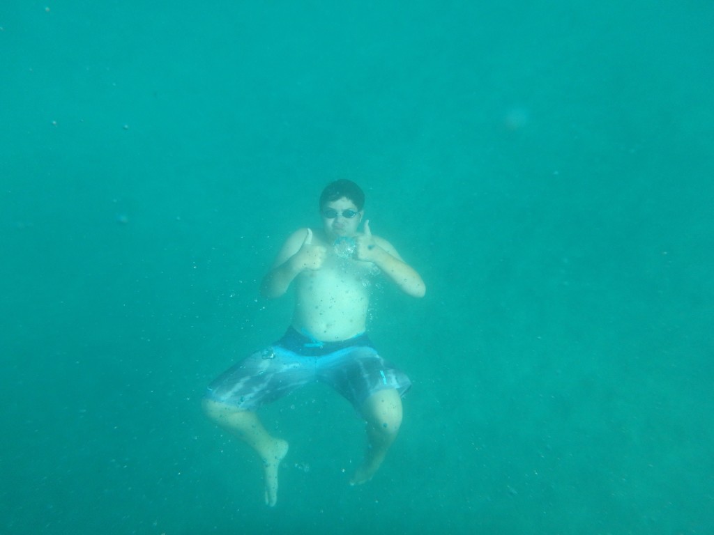
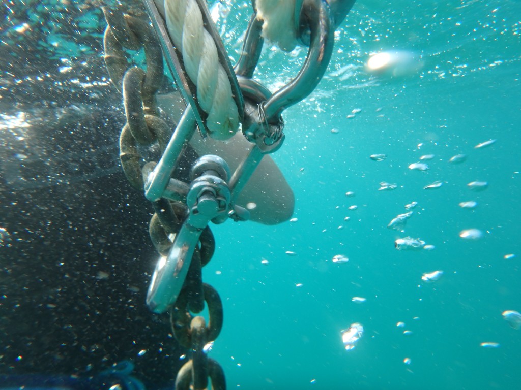
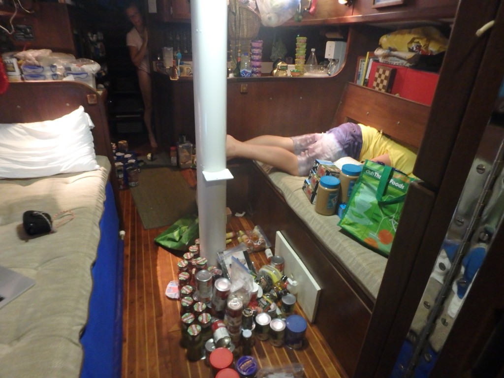
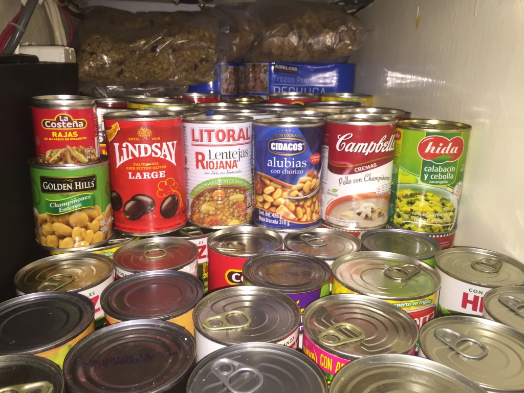
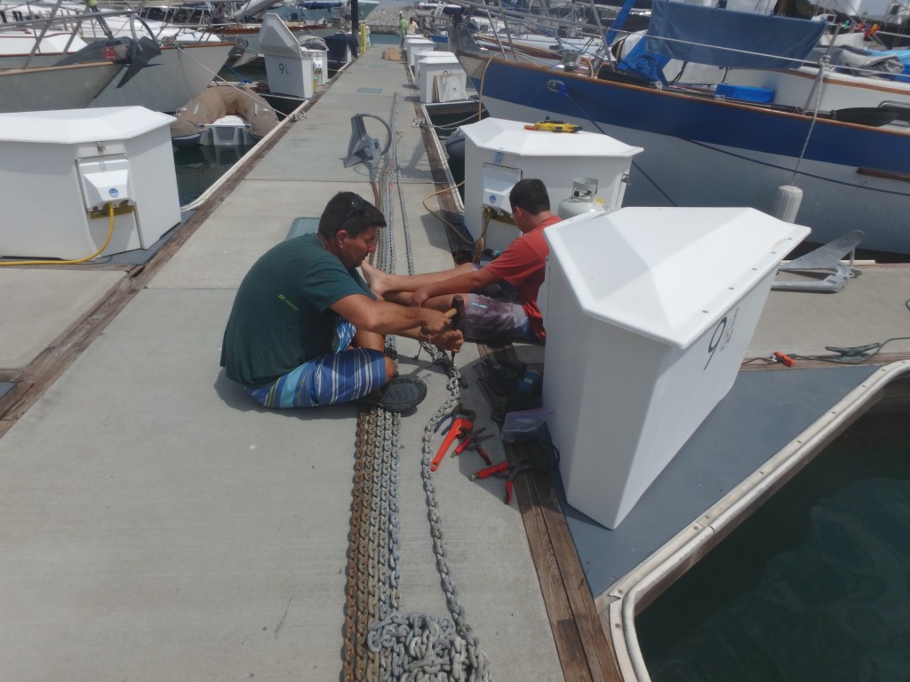
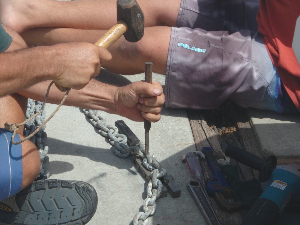
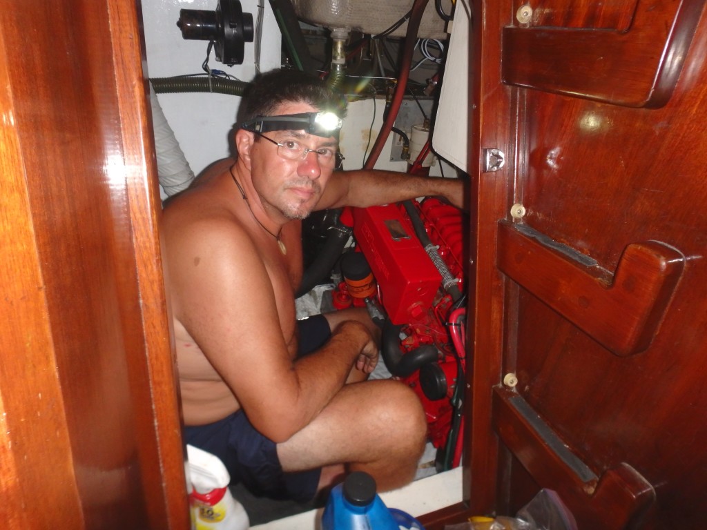
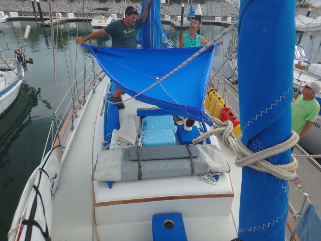
At the moment, we are wrapping up long lists of projects and preparations. Karen is finishing massive provisioning, radio work and an excellent rainwater catchment system made of Sunbrella (10ft X 13ft). Peter is wrapping up a long list of rigging & mechanical projects including salt-water plumbing (for washing), increasing anchor chain, stowage, electrical and rig inspection. Sean and Sarah are helping with these various projects and working to keep up momentum with school. About a week ago we discovered what would have been some serious engine issues, but managed to find workable parts and address the problem proactively. We are very proud to have a happily purring diesel engine again – as of 10pm last night.
Our goal was to be ready for a good weather window after March 15, and we’re past that point! Strong El Niño conditions negatively affect the passage to, and through, the South Pacific by making the trade winds on both sides of the Equator significantly lighter and increasing the chances of an out-of-season tropical cyclone. Last year (2015) capped the strongest recorded El Niño cycle and it’s affects are still in place. Most weather experts anticipate a return to El Niño-neutral conditions by June of 2016, however all are quick to point out that prediction is speculative. The bottom line is that we won’t know before we go. We have been waiting for the North Pacific High to solidify and strengthen off of California and the Baja coastline. This expanding high pressure reinforces the NE trades and compresses the hot, shifty & stormy Inter-tropical Convergence Zone (ITCZ, also known as the Doldrums), making this zone easier to cross. We will likely stay North of the rhumb line course (straight line) staying in the NE trades and heading WSW until about 128N, then be looking for a good slot to drop South through the ITCZ and join up with solid SE trades as soon as possible, curving back WSW toward the Marquesas once South of the Equator. Our track will depend on the weather while underway, but may look like a flattened “S” shape. We are finally seeing the right weather conditions for our departure and plan to depart tomorrow.
To all our family and friends around the world, we’re off on a new phase of this great adventure. We will savor the experience – good and bad – and be thinking of you all as we go.
